Above is a hike to Tippling Rock in Sudbury, Massachusetts (actually it ends about 20 yards from Tippling Rock). It’s a short hike — about .7 miles (1.4 miles round-trip). From Route 20, a dirt road leads to a parking area and the start of the trail. Tippling Rock is probably named for a Balanced Rock, such as Native Americans often made. Since the rock made the local white farmer nervous, it was split; the two halves of the rock can still be seen.
Tippling Rock is on a broad ledge that affords a broad view; you can see the Blue Hills, and some skyscrapers in Boston. To the northwest, you can glimpse Mt. Monadnock (if the leaves are out, you probably can’t). Click here for a precise description of what you see from Tippling Rock. The above hike follows the BCT (Bay Circuit Trail).
Below is a Balanced Rock; it’s near the parking lot, I marked its location on the map with a purple pin. It sits atop a small hill, a small outcrop. It has a subtle upward-pointing shape (Indians were fond of that shape, as I explain here). If Tippling Rock is named for a Balanced Rock, as I suspect, then perhaps it’s fitting that a Balanced Rock is located near the start of the trail.

Below is a possible stone pile, such as natives often made; I marked its location with a red pin. Though it’s obscured by leaves and soil, it seems to have a turtle shape.

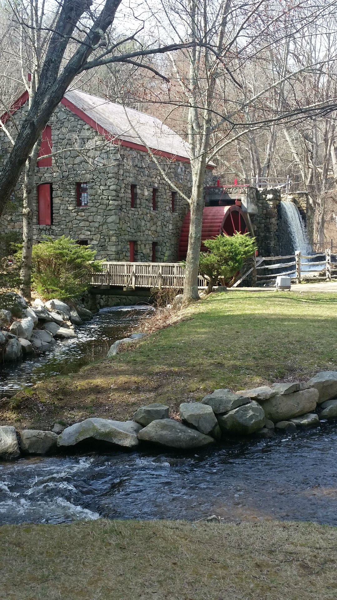
If you drive west from the TipplingRock parking area for about a half-mile, you’ll get to the Wayside Inn, one of the oldest inns in the U.S. It has extensive grounds (grist mill, chapel, ice house, etc.) and a welcoming atmosphere. It was originally built on the Boston Post Road — more specifically, the Upper Post Road.

Grist Mill near Wayside Inn, Sudbury, Massachusetts, mid-April
If you continue on the BCT for another mile past Tippling Rock (south of Tippling Rock), you’ll get to Nobscot Hill. The summit of Nobscot Hill is crowded with towers (fire-spotting towers and communications towers), but if you continue on the BCT for 125 yards (descending), you’ll get to a lookout called Jethro’s Table, from which you can see Boston.
If you continue on the BCT, the guide says you’ll get ‘views of Mt. Wachusett and Mt. Monadnock,’ but I didn’t find any such views, perhaps they’re overgrown.
Below is a 4.5-mile route that goes to Tippling Rock and Nobscot Hill.
The route above meanders around; I was hoping to find some of the sights mentioned in the Wikipedia article. I found the grinding stone, and marked it on the map with a black pin, but I didn’t find “Summit marker embedded in rock with possible remnants of Indian Cairn.” A website says, “Along Thirty Rod Road [at the base of the hill], a historical marker indicates the site of the 18th-century smallpox burial ground. Nearby are the cellar holes of the pest houses where patients were isolated.” I didn’t find the smallpox cemetery or the cellar-holes, or the remains of John Nixon’s house on the north side of the hill.
Two or three miles southwest of the Wayside Inn is the Sudbury Reservoir, which is actually a series of reservoirs. The Sudbury Reservoir was built between 1875 and 1900, to provide water to Boston. It was built to supplement Natick’s Cochituate Reservoir (Lake Cochituate), which had been built about 1850. The Sudbury Reservoir was rendered largely obsolete by the construction of the Wachusett Reservoir (c. 1900) and the Quabbin Reservoir (c. 1935).
There are trails around the Sudbury Reservoir:
- BayCircuit, eastern side of Reservoir, about 3 miles
- trail along western side of Reservoir, also about 3 miles
- One-mile extension of western trail, into Marlboro
|
This is a 5-mile section (10 miles round-trip) of the Bay Circuit Trail (BCT). This section misses some scenic spots, such as Tippling Rock and Nobscot Hill. I marked a mistake (I should have continued south on Wayside Inn Road to Edmands Road). To enjoy the best scenery, you may want to do the TipplingRock and SudburyReservoir sections of the BCT as two separate walks. Near the start of the walk is a short side trail to Ford’s Folly, a large dam (not very scenic) built by Henry Ford to provide water for his grist mill. Since the dam didn’t hold water, it was called a ‘folly.’ |
|
This 6-mile circle begins at the parking lot on Brimstone Lane, then circles Ford’s Folly, then goes to Nobscot Hill and Tippling Rock before returning via roads. Since this route goes on some busy roads, I don’t recommend it, but sections of the map may be useful. |