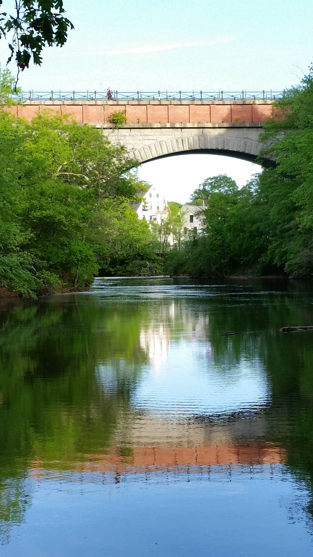
The most scenic walk in Newton is surely the Hemlock Gorge walk, which features Echo Bridge, Artists Point, and the highest waterfall on the Charles River (known as Newton Upper Falls or Silk Mill Dam). Click here for info about Hemlock Gorge. The Hemlock Gorge walk is only about 1.25 miles, but there are steep sections. Hemlock Gorge is part of the 8-mile Newton Aqueduct walk, it’s the steepest part of the Aqueduct walk. There’s a small parking area for Hemlock Gorge at the corner of Ellis Street and Route 9.
Here’s a map of the 8-mile Aqueduct Walk.
Much of the above walk follows aqueducts, part of it follows the Charles River. (The north fork of the walk follows the Cochituate Aqueduct, the south fork the Sudbury Aqueduct. Click here for an old map (1852?) of the Cochituate Aqueduct, which brought water to the Brookline Reservoir. The Sudbury Aqueduct empties into the Chestnut Hill Reservoir. Click here for an “overview map” of both aqueducts.) I put a red line on a section of the trail that can be very muddy; you can avoid this section by walking on the road.
You can lengthen this walk slightly by starting at the corner of Tyler Terrace and Centre Street, or you can shorten it by skipping Hemlock Gorge, or by starting at Whole Foods (corner of Beacon and Walnut streets).

View under Echo Bridge toward Silk Mill Dam. Echo Bridge carries the Sudbury Aqueduct from Needham (in the west) to Newton (in the east). Like the High Bridge in New York City, Echo Bridge has no cars or trains, only walkers and bikers. When it was built in 1875, Echo Bridge was the 2nd longest masonry arch in the country.
In southeastern Newton, just north of Chestnut Hill Mall, is the Hammond Pond Reservation. Near the mall is a high cliff, popular with rock-climbers. The face of the cliff is on the south side (approximately). As you walk through the park, you’ll find other outcroppings that have a steep south side, and a flattened north side, probably because the glacier flattened and smoothed the north side of the rocks.

Rock-climbers near Chestnut Hill Mall
Walk north and cross the train tracks to reach Houghton Garden, once a private garden owned by the Houghton family. Everywhere you’ll see conglomerate rocks (Roxbury puddingstone). Indeed, you’ll wonder why it isn’t called Newton puddingstone.

A boulder in Houghton Garden,
probably flattened by glacier on “upstream side.”
Downstream side vertical, slightly plucked.
Note the rough, bumpy texture of the puddingstone.
Here’s a map of the Tour de Newton, a 20-mile ride through Newton, Massachusetts. The ride passes through many of Newton’s villages. You can start this ride almost anywhere in Newton, I usually start in Nahanton park.
Legend for the above map:
| O | Oak Hill |
| C | Newton Center |
| B | Chestnut Hill (Boston College) |
| X | Newton Corner |
| Y | Nonantum |
| V | Newtonville |
| N | West Newton |
| A | Auburndale |
| L | Lower Falls |
| W | Waban |
| H | Newton Highlands |
| U | Upper Falls |
Here’s a 15-mile version of the Tour de Newton (a small section is in Brighton). This route combines two loops from bikenewton.org, the Echo Bridge loop and the Chestnut Hill Reservoir loop.
For more on biking, walking, and paddling in Newton, visit Newton Conservators. Click here for Newton walks that emphasize history and architecture. See also walkboston.org